Warrumbungle Shire

Warrumbungle Shire is located on the central western slopes and plains of NSW. Situated mid-way between Brisbane and Melbourne, 3 hours from Newcastle, two hours from Tamworth in the north and Dubbo in the south; the town centre of Coonabarabran attracts overnight stays for long haul interstate travellers. Dunedoo is well located for people travelling along the Golden Highway.
The Shire was built on agricultural pursuits, with the main industries of wool growing, beef cattle production and cereal cropping. The performance of the agricultural sector impacts directly on the local economy, with Shire businesses experiencing significant highs and lows as a result of variations in agricultural production, demand, commodity prices and weather.
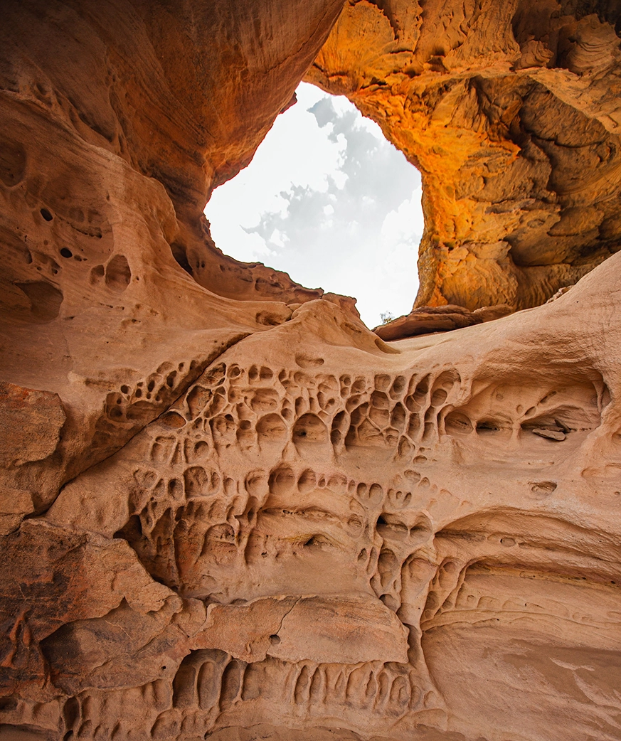
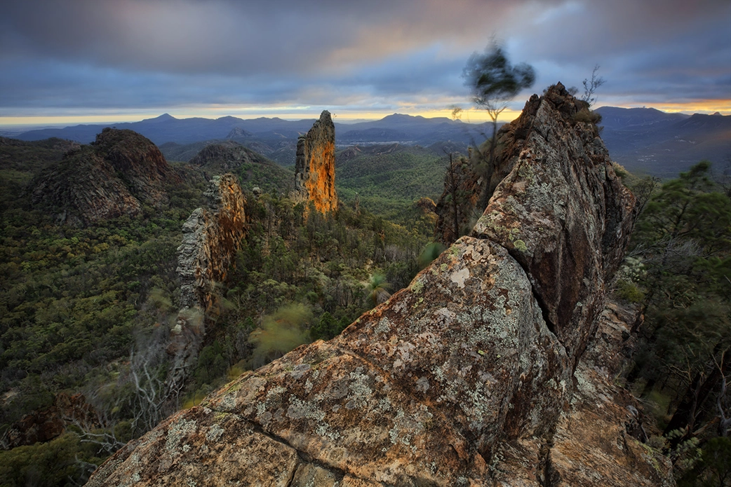
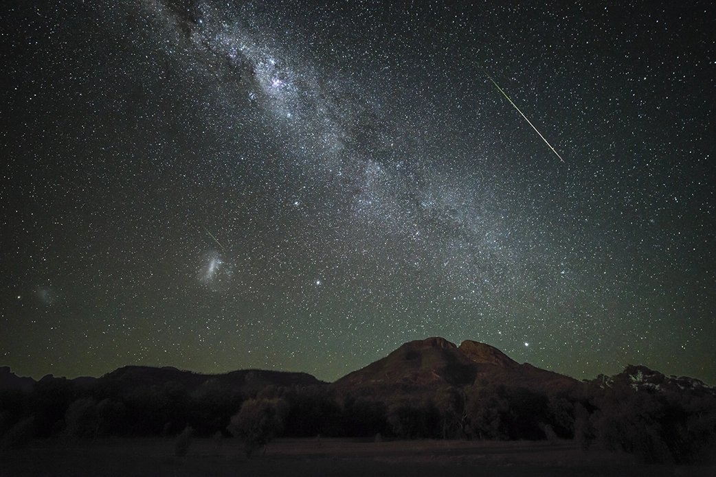
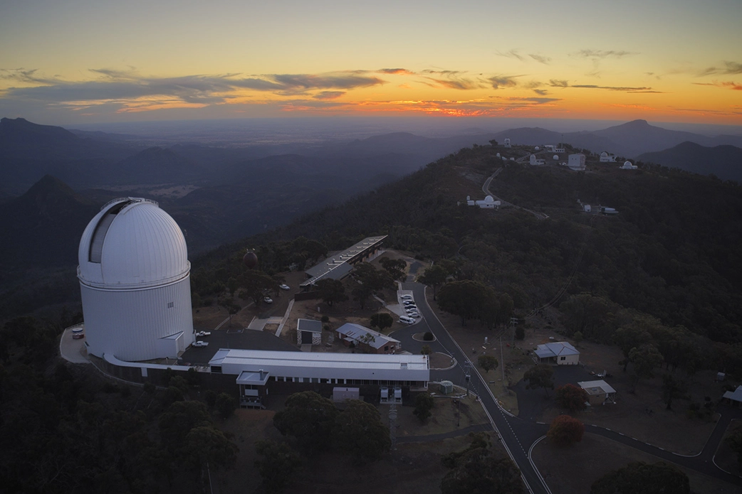
Warrumbungle National Park west of Coonabarabran is a popular tourist destination and home to the internationally significant Siding Spring Observatory, which has international Dark Sky status. Warrumbungle Shire is home to three national parks, providing unique environments and experiences. The LGA is both the traditional land of Kamilaroi people and the Wiradjuri Nation. The area has strong Aboriginal heritage with many sacred sites. Good transport links and an abundance of natural resources provides the LGA with opportunities for economic growth.
Population: 9,118
Local Businesses: 1,234
Local Jobs: 3,123 (5.7%)
Climate: 2-45oC
Median Rent: $260pw
Median Property Prices: $275,000
Top Industries
- Agriculture
- Healthcare
- Education
Attractions
- Coolah Tops National Parkwarru
- Pilliga Forest
- Pilliga Pottery
- Siding Spring Observatory
- Warrumbungle Dark Sky Park
- Warrumbungle National Park